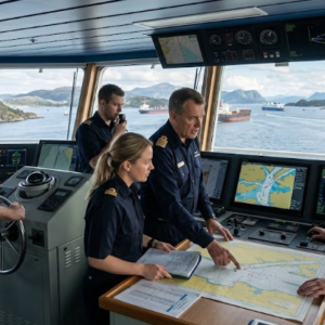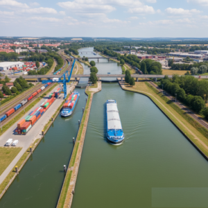
This course delivers an operational guide to using Electronic Chart Display and Information Systems (ECDIS) safely and efficiently under STCW guidelines. Participants will master primary navigational functions—including chart updates, sensory inputs, safety contour settings, and route planning with precise waypoint management. The training emphasizes recognizing and avoiding common pitfalls such as alarm fatigue, over-reliance on automation, and display misinterpretation, ensuring the bridge team maintains high situational awareness and follows navigational best practices during passage execution.
Related products
-
200,00 €
This course provides the knowledge and proficiency required to perform basic celestial navigation in accordance with STCW navigation standards. Training includes the principles of celestial…
-
200,00 €
This course offers a clear and practical overview of essential navigational systems, including traditional and modern navigational aids, Global Navigation Satellite Systems (GNSS), marine compasses,…
-
200,00 €
INLAND WATER WAY TRANSPORT COURSE OBJECTIVES: 1. Understand the structure and development of the inland waterway network and market in Europe, including key river corridors like…
-
200,00 €
This course provides an introduction to modern navigational aids and the Integrated Navigation System (INS). Learners will understand how key instruments operate, how data is…