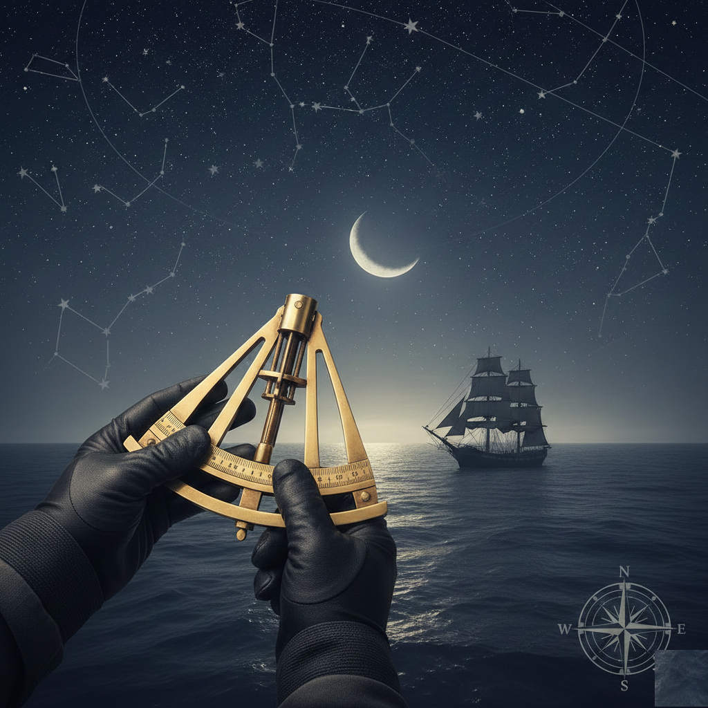
This course provides the knowledge and proficiency required to calculate midday latitude and determine a vessel’s position using the heights of celestial bodies, in accordance with STCW navigation competencies. Students learn the methods for obtaining and reducing meridian altitude observations, performing sight calculations for position fixing, and evaluating the reliability and accuracy of the line of position. Emphasis is placed on correct observation techniques, error assessment, and applying celestial data to support safe and effective navigation.
Related products
-
200,00 €
This course provides the knowledge, understanding, and proficiency required to operate and interpret Automatic Radar Plotting Aids (ARPA) in accordance with STCW and COLREGs. Training…
-
200,00 €
This course introduces the principles and operation of navigational aids and marine radar systems. It covers the use of radar for safe navigation, collision avoidance,…
-
200,00 €
This course provides an introduction to modern navigational aids and the Integrated Navigation System (INS). Learners will understand how key instruments operate, how data is…
-
200,00 €
Terrestrial Navigation 1 provides students with the foundational principles of marine navigation and chartwork. The course introduces the essential concepts needed to understand position, direction,…